Alderpoint Loop 9/12
Posted: Fri Sep 13, 2013 12:20 pm
An ambitious trip yesterday, the map plan looked like this:
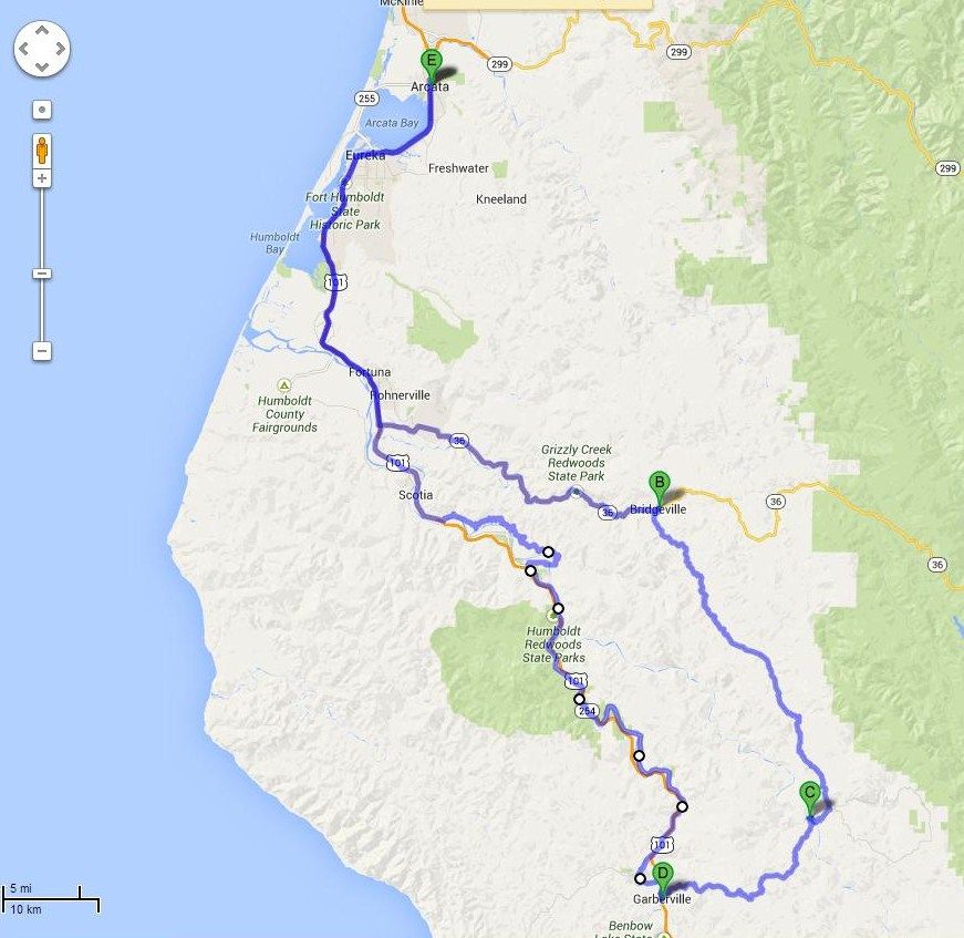
A trip to the South and East, deep into the Emerald Triangle. Had a great time on the bit of Hwy 36 that I rode, with a dope grower running point in his big Diesel pickup. In the Hwy 36 speed hierarchy, I fall into the group that is slower than the dope growers but faster than the ranchers and loggers. Always nice to have one of our upstanding citizens lighting up the radar ahead of me.
You may be asking, "Say, Mel, how do you know it's a dope grower?" Well, it's quite simple--the growers of the green drive dark trucks from the metallic charcoal/blue/green range of hues. The ranchers drive light colored trucks, and the loggers drive white trucks. Also, the growers blow their spare cash on truck mods--lifts, chips, roo bars. I caught up to my guy in a construction zone, and you shoulda heard his turbo spool up once we were clear of the zone. Chipped, for sure. Ranchers and loggers generally drive stock trucks, with maybe a winch.
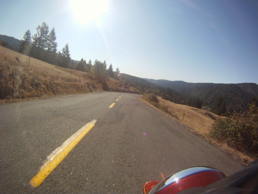
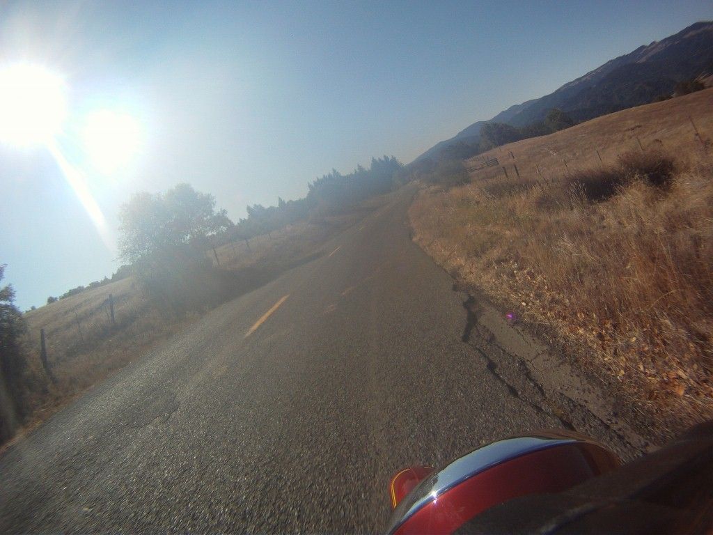
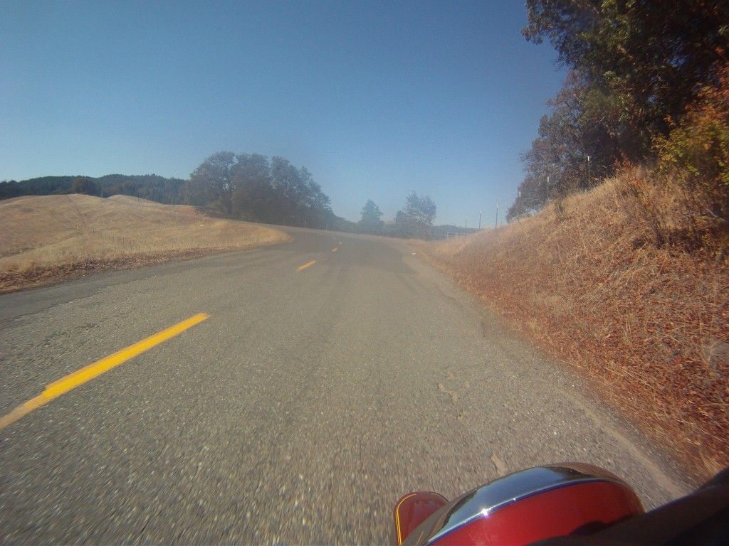
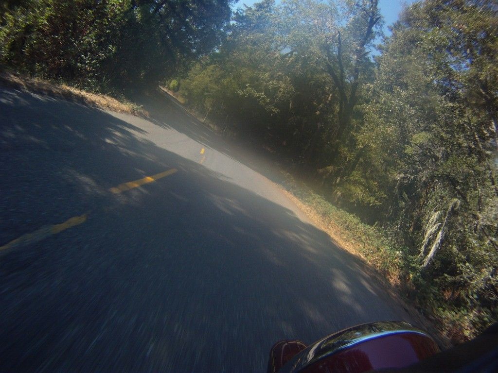
Anyway, got to Bridgeville, and hung a right to go to Blocksburg/Alderpoint/Garberville. Here I turned on the GoPro, taking pix every 30 seconds on the chance I'd get a few good ones. I've come to realize that I'm not much of one for stopping for road pix unless it's absolute pavement porn, so I let Senor GoPro do the snapping today. Here are a few:
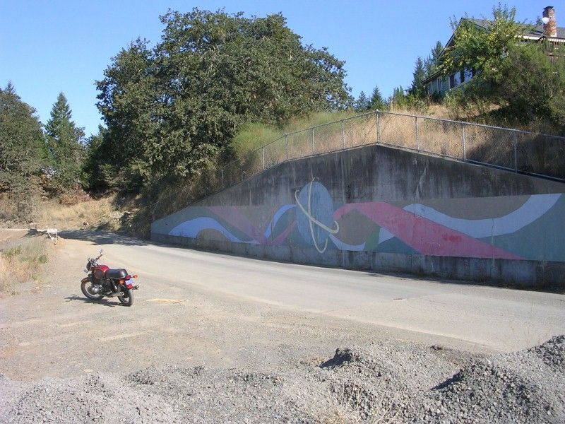
Now I did stop for a pic--this is a LARGE retaining wall that I presume was put up by the county so they could continue to run the road through here after it fell down the hill a few times. It's still a construction zone even though the wall's been up for years because the road really wants to tumble to the bottom of the hill. The paint was unexpected, and I wonder if the homeowner did the work:
There was a geocache on this trip:
http://www.geocaching.com/geocache/GC16 ... 7280afa30b
A neat spot where a spring comes right out of the hillside. It was pretty much the only one between the two 'Villes, Bridge and Garber. There's a certain armed element in the hills that doesn't like nerds poking around, looking for stuff.
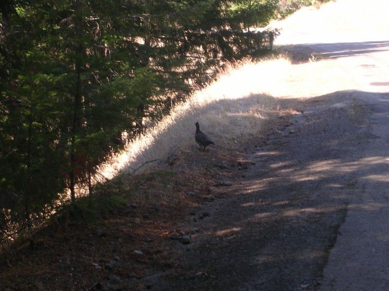
This bird was hanging out near the cache. Not sure what it was--a little skinny for a chicken, and far from any house, but a bit fat and plain for any game bird. Muriel (a birder) was stumped as well, and wanted a better pic. Oh, well, I'll just have to go back sometime :
:
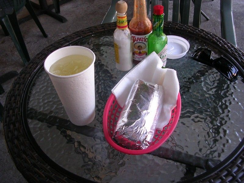
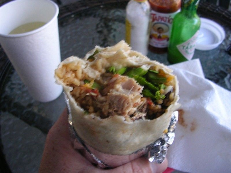
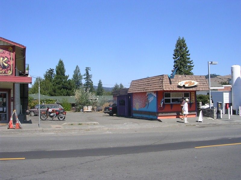
I made it to Garberville unventilated by lead, and it was time for lunch. Nacho Mama, a pleasant stop. From the 'healthy and organic' side of things.
Here's where things went a bit off. There used to be a few low water bridges across the Eel river in the summertime, but now there is just the one at Holmes Flat. I was trying to connect that bridge to the next community on the other side of the river, Shively. Shively used to have their own summer bridge, but the logging company that used to put it up was sold and the new owners have not been putting the bridge in. There is then a road from Shively going North and West that connects with 101, but the summer bridge, when it was in, would save 20 miles or so of driving. I, of course, wanted to ride that 20 miles.
The residents at the other side of Holmes Flat are cut off in winter, as the dirt road becomes impassable and the low bridge gets flooded out. The county maintains a ferry (a wee open skiff mit outboard motor) in the winter for these people.
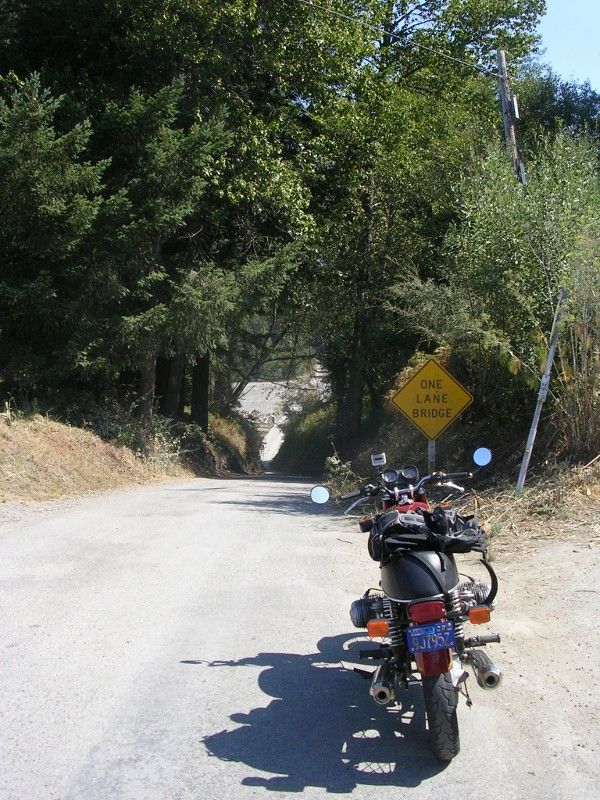
Here's the bridge at Holmes Flat:
And a vid of the crossing (click for action):
Yes, that's a dope grower truck on the left at the start of the vid.
So there is a county maintained dirt road from the end of the Holmes Flat bridge to Shively, and I was motoring carefully on it for a couple miles, noting that it appeared to be recently graded, and so had a layer of loose powdery dust on top. A little spooky on my BMW B/S (Bright/Shiny) mit street tires, as the front kinda plowed this way and that. Soon after a corner in which I dabbed, I was going up a steep hill, steep enough that the rear was also picking a random path, when I came upon a dust cloud, and found out just how recently the road had been graded. Just seconds before I got there, it turned out. The road was too narrow to pass the grader. I stopped on the hill (mistake 1) and tried to get going again (mistake 2) and it's entirely **possible** that the bike hit the ground except that no one saw. After that, I elected not to continue wrasslin' mit der Gummikueh and turned around, back to Avenue of the Giants.
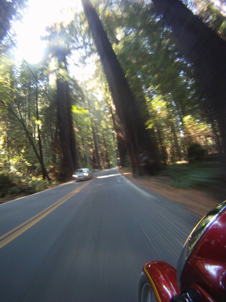
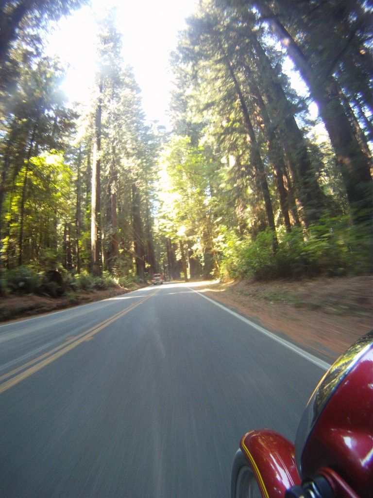
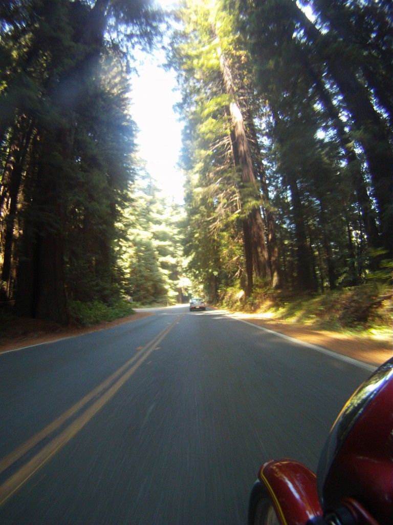
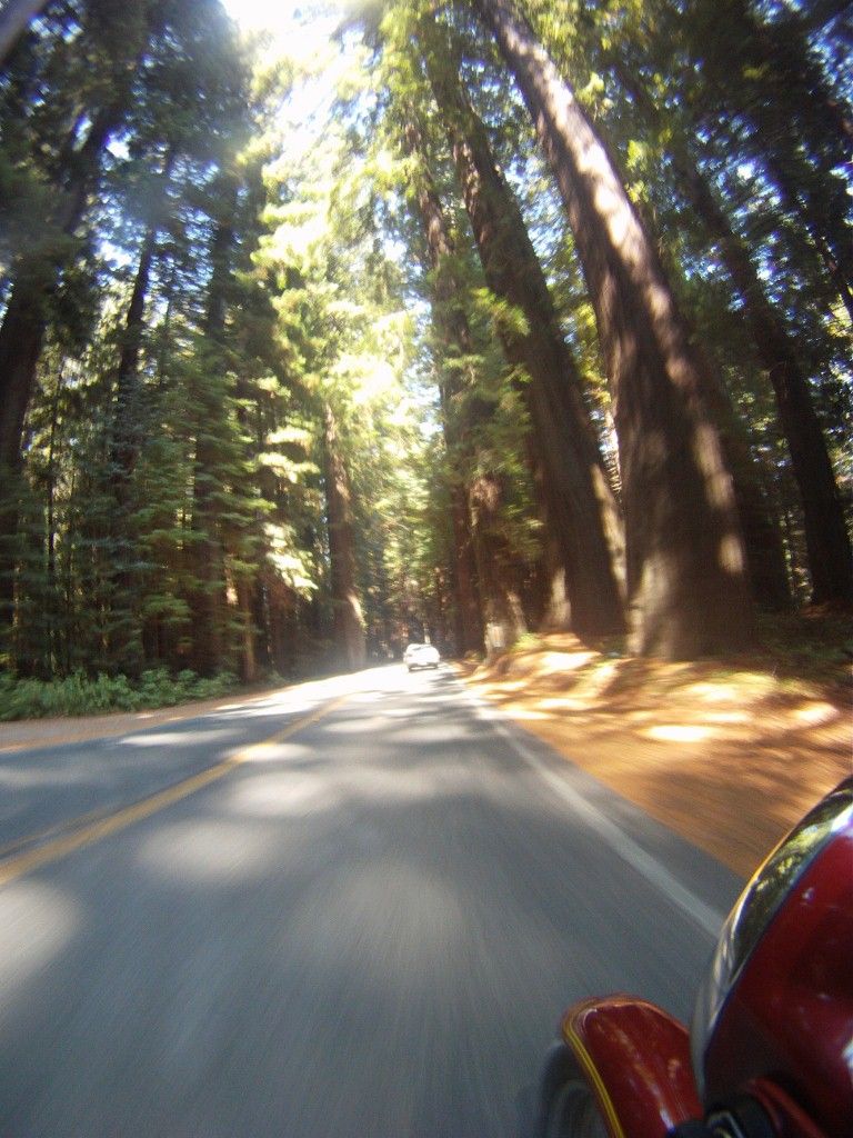
Back on pavement, I thought I'd try to capture the majesty of the Redwoods with the GoPro. I turned it sideways, and again set it to take a pic every 30 seconds. The wide angle lens helped considerably, as the redwoods defy any attempt to photograph them with conventional gear. Take a look:
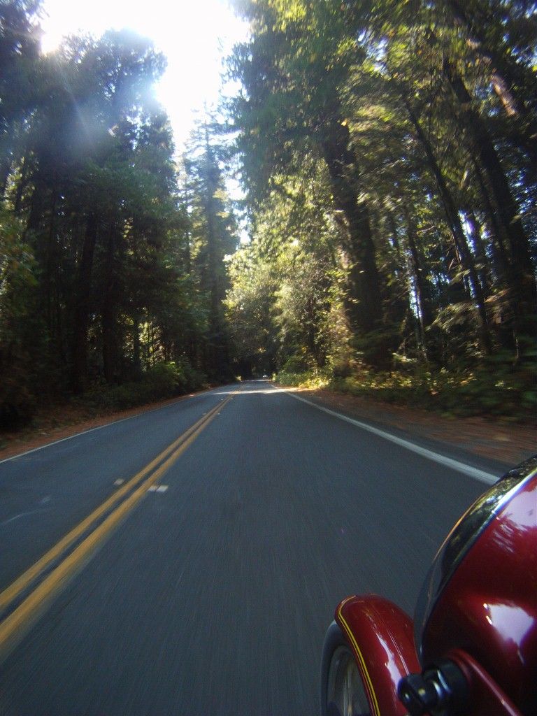
I think about 30% of the majesty comes through in those, compared to 20% with a regular lens. They really must be experienced firsthand.
Then it was an uneventful ride back to melvilleville, mischief managed.

A trip to the South and East, deep into the Emerald Triangle. Had a great time on the bit of Hwy 36 that I rode, with a dope grower running point in his big Diesel pickup. In the Hwy 36 speed hierarchy, I fall into the group that is slower than the dope growers but faster than the ranchers and loggers. Always nice to have one of our upstanding citizens lighting up the radar ahead of me.
You may be asking, "Say, Mel, how do you know it's a dope grower?" Well, it's quite simple--the growers of the green drive dark trucks from the metallic charcoal/blue/green range of hues. The ranchers drive light colored trucks, and the loggers drive white trucks. Also, the growers blow their spare cash on truck mods--lifts, chips, roo bars. I caught up to my guy in a construction zone, and you shoulda heard his turbo spool up once we were clear of the zone. Chipped, for sure. Ranchers and loggers generally drive stock trucks, with maybe a winch.
Anyway, got to Bridgeville, and hung a right to go to Blocksburg/Alderpoint/Garberville. Here I turned on the GoPro, taking pix every 30 seconds on the chance I'd get a few good ones. I've come to realize that I'm not much of one for stopping for road pix unless it's absolute pavement porn, so I let Senor GoPro do the snapping today. Here are a few:


Now I did stop for a pic--this is a LARGE retaining wall that I presume was put up by the county so they could continue to run the road through here after it fell down the hill a few times. It's still a construction zone even though the wall's been up for years because the road really wants to tumble to the bottom of the hill. The paint was unexpected, and I wonder if the homeowner did the work:

There was a geocache on this trip:
http://www.geocaching.com/geocache/GC16 ... 7280afa30b
A neat spot where a spring comes right out of the hillside. It was pretty much the only one between the two 'Villes, Bridge and Garber. There's a certain armed element in the hills that doesn't like nerds poking around, looking for stuff.
This bird was hanging out near the cache. Not sure what it was--a little skinny for a chicken, and far from any house, but a bit fat and plain for any game bird. Muriel (a birder) was stumped as well, and wanted a better pic. Oh, well, I'll just have to go back sometime

I made it to Garberville unventilated by lead, and it was time for lunch. Nacho Mama, a pleasant stop. From the 'healthy and organic' side of things.


Here's where things went a bit off. There used to be a few low water bridges across the Eel river in the summertime, but now there is just the one at Holmes Flat. I was trying to connect that bridge to the next community on the other side of the river, Shively. Shively used to have their own summer bridge, but the logging company that used to put it up was sold and the new owners have not been putting the bridge in. There is then a road from Shively going North and West that connects with 101, but the summer bridge, when it was in, would save 20 miles or so of driving. I, of course, wanted to ride that 20 miles.
The residents at the other side of Holmes Flat are cut off in winter, as the dirt road becomes impassable and the low bridge gets flooded out. The county maintains a ferry (a wee open skiff mit outboard motor) in the winter for these people.
Here's the bridge at Holmes Flat:

And a vid of the crossing (click for action):

Yes, that's a dope grower truck on the left at the start of the vid.
So there is a county maintained dirt road from the end of the Holmes Flat bridge to Shively, and I was motoring carefully on it for a couple miles, noting that it appeared to be recently graded, and so had a layer of loose powdery dust on top. A little spooky on my BMW B/S (Bright/Shiny) mit street tires, as the front kinda plowed this way and that. Soon after a corner in which I dabbed, I was going up a steep hill, steep enough that the rear was also picking a random path, when I came upon a dust cloud, and found out just how recently the road had been graded. Just seconds before I got there, it turned out. The road was too narrow to pass the grader. I stopped on the hill (mistake 1) and tried to get going again (mistake 2) and it's entirely **possible** that the bike hit the ground except that no one saw. After that, I elected not to continue wrasslin' mit der Gummikueh and turned around, back to Avenue of the Giants.
Back on pavement, I thought I'd try to capture the majesty of the Redwoods with the GoPro. I turned it sideways, and again set it to take a pic every 30 seconds. The wide angle lens helped considerably, as the redwoods defy any attempt to photograph them with conventional gear. Take a look:


I think about 30% of the majesty comes through in those, compared to 20% with a regular lens. They really must be experienced firsthand.
Then it was an uneventful ride back to melvilleville, mischief managed.